Geotagging (field trip, exercise using mobile devices, or at-desk)
Conditions d’achèvement
![]() If you need definitions of the different types of exercises or activities to be submitted on moodle, look at the User's Guide.
If you need definitions of the different types of exercises or activities to be submitted on moodle, look at the User's Guide.
The text below is a 'read-only' question; it is meant to give visitors an idea of possible exercises. Registered students should click on the 'Submission' button available to them in order to move to the exercise page and write or attach their contribution.

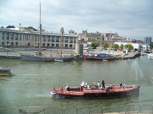
- Preparation: in Bristol (see course chapter),
- take photos of the places mentioned in the course with your mobile device;
- using its geotagging function, find the corresponding maps. Combining maps and photos, if necessary several photos, is the basis of 'augmented reality'.
- Exercise: explain what the comparison of these images (views and maps) reveals on the economic and social history of the city.
Skills:
- observation skills:
- finding significant urban areas: linking the past and the present
- taking photos illustrating arguments
- technical skills:
- photographic skills
- geotagging
- interpretation:
- linking views and maps
- discussing urban history
Note: a converse exercice ('georeferencing' - previous page) concerns Leeds - starting from existing photos and comparing them with an external map, instead of taking photos and positioning them using the internal application of the device.